Welcome!
We connect the community, organizations, authorities, companies, and everyone interested in OpenStreetMap. Together, we improve geodata and make it accessible to everyone.
Our Goal: To promote and enhance free geodata – together with you!
Our Offering: We provide support for using OpenStreetMap, participating in the project, and answering questions about geodata.
Our Role: As a bridge between the community and external partners, we foster dialogue and actively work on improving geodata quality.
General Information
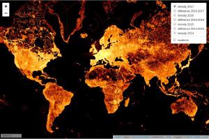
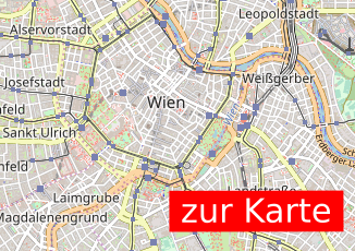
Where is the Map?
Here is an example map showcasing what can be done with OpenStreetMap:
I Want to Report an Issue!
You can report an issue directly on openstreetmap.org, or you can inform us at info@openstreetmap.at. We will get back to you as soon as our volunteer schedule allows – all our work is voluntary.
Find out how to support OpenStreetMap by visiting the Contribute page.
About the OpenStreetMap Project
OpenStreetMap (OSM) is an open, global database where geodata is collected by volunteers and made freely available. These data are the foundation for maps, navigation systems, and much more worldwide. Everyone can contribute – whether by adding a path, a park, or mapping entire neighborhoods in detail.
Learn more about OpenStreetMap on the About OSM page.
About OpenStreetMap Austria
History
OpenStreetMap Austria was founded in 2011 to organize the first “State of the Map” conference in Austria. Since then, we have built a rich history.
In 2023, following a community vote, we became the official Local Chapter for Austria.
Mission
OpenStreetMap Austria (OSM-AT) actively promotes OpenStreetMap activities in Austria. We assist in using OSM data, mediate between the community and external partners, and work to improve and expand geodata quality.
Our association acts as a voluntary point of contact for inquiries, clarifications, support, or mediation regarding OpenStreetMap.
We participate in various events, such as the Salzburg Maker Faire and the Graz Linux Days, to raise awareness about OpenStreetMap and strengthen the community. In the past, we were also present at the AGIT (formerly GI_Salzburg) and the Maker Faire Vienna, which unfortunately no longer take place.
Note on Data Sovereignty
OpenStreetMap Austria (OSM-AT) does not control the OpenStreetMap database and does not provide its own map material. We are also not responsible for the content of the database or the map.
The OpenStreetMap project is operated by a British NGO, the OpenStreetMap Foundation, which holds data sovereignty.
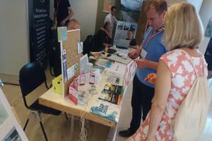
Third day at AGIT 2017
Although the AGIT programme did not end until 3 p.m., the EXPO itself was already over after the lunch break. Some of the stand attendants had already dismantled their exhibition booths; the FOSSGIS area was among the slower ones, only starting to disassemble at that time.
The morning was filled with a number of interested parties, and two cups, some pins and a finn were handed over.
There were also explicit open-source lectures as part of the OSGeo Day programme:
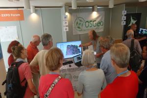
Second day at AGIT 2017
Today, Thursday, was the middle of the three AGIT days. It was just as successful as Wednesday. There was something going on all day.
The influx of visitors during the lecture breaks was clearly noticeable, but with the support of Raphael DAS GUPTA from OSM-Switzerland (also present for all three days), it was well managed. Volker Wichmann and Olaf were available as contact persons for the SAGA GIS project. Anita Graser stopped by whenever possible for the QGIS project in the OSGeo area. Markus Schütz was able to present his project Potree for visualising laser scan data. Emmanuel Belo provided information about geOrchestra.